Skip to content

The Old PA Pike

Pike to Bike to Destination Location

  • Home
  • About Us
  • Calendar
  • Articles & Blogs
  • Resources
    • Master Plan Update
    • Media Coverage
    • Surveys & Feedback
  • Sponsors
Posted on July 19, 2017February 11, 2018 by Ric Albano

Aerial Footage of the Trail

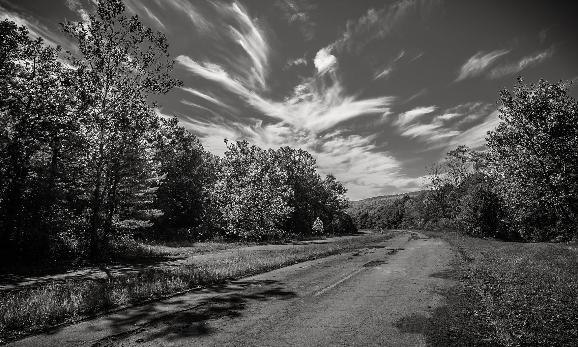
Here is some aerial footage captured by Kyle Mills with a GoPro Drone Phantom 2 in October 2014 during the peak of Fall Foliage.


CategoriesHistory Tagsabandoned turnpike, aerial video, outdoor images

Post navigation

Previous PostPrevious Spike 2 Pike 2 Bike
Next PostNext Drive Through the Tunnels in 1953

Recent Posts

  • 1951 Chevy Infomercial on the PA Turnpike
  • Trail Usage Survey
  • Choir in Sideling Hill Tunnel
  • Thank You to Everyone Who Contributed to the Open House
  • Live Music at the Open House Event

Pages

  • Home
  • About Us
  • Articles and Blogs
  • Sponsors
  • Contact Us
  • Calendar
  • Surveys & Feedback
  • Media Coverage
  • Resources
Bedford County Visitors Bureau
Fulton County Chamber ad
Lincoln Highway Heritage Corridor ad
Navarro and Wright ad
  • Facebook
  • Twitter
  • Instagram
©2017-2023 The Old PA Pike

Website by 33 Dimensions